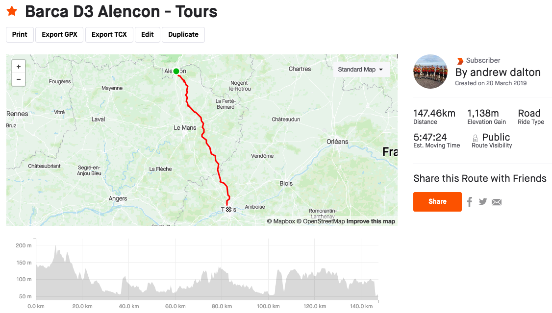
The route is a little over 90 miles, but it is quite flat and, given favourable weather, not a difficult ride. We leave Alençon on the D19 taking a route that will east of Le Mans. Doing this we are on very gently rolling, quiet, country roads. We switch to the D67 shortly after Le Mées.
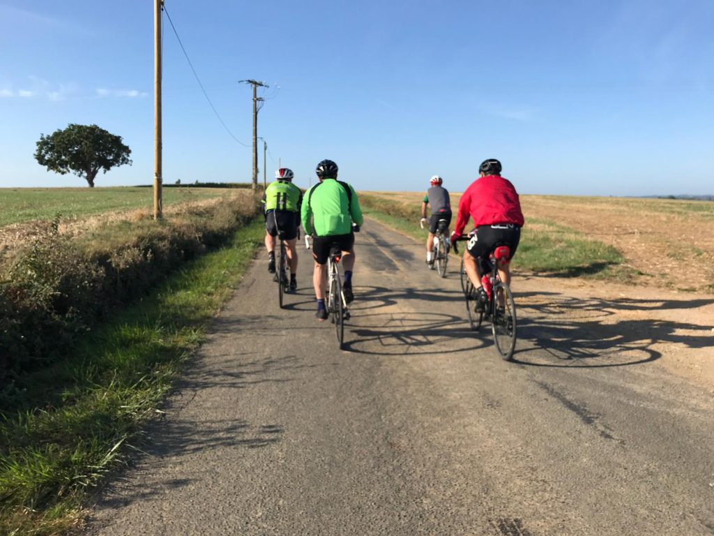
D19 south of Louvigny.
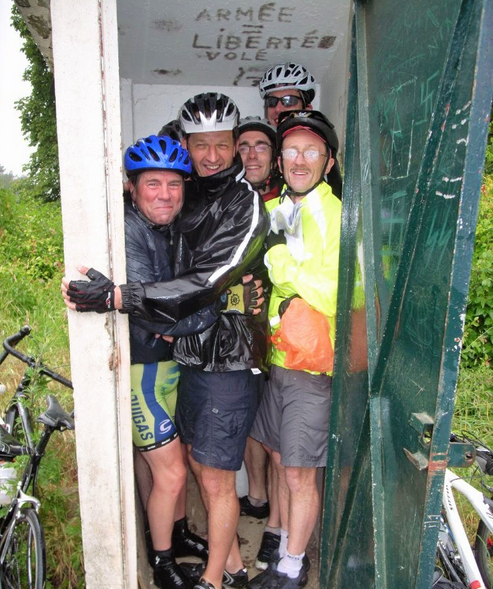
On our first trip Day 3 was very wet and cold. We were already feeling sorry for ourselves when we came across a barrier in the road with signs saying something like “Danger du mort” and “tir en cours 9.00 – 11.00”. As it was 10.50 and we could hear gunshots, the majority decided it would be prudent to wait and we found shelter in a sentry box (although there was only room for 6).
Sheltering from the rain and cold.
AT 11.00 the shooting stopped so, despite the fact that the barrier was still down, we decided to continue. The road passed through some woods before opening up as it crossed what seemed to be a tank firing range. We pedalled harder and soon came to another barrier with bemused French people queueing on the other side. About 50 yards away an armoured car was stopped. A soldier standing by it gesticulated at us, but we didn’t hang around to see what he wanted.
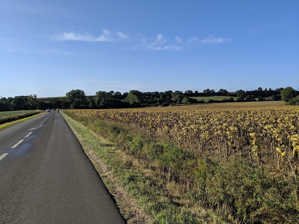
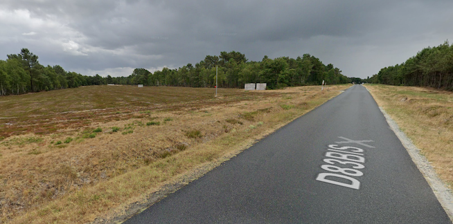
The firing range is no longer in use.
Decommissioned firing range south of Monfort-le-Gesnois.
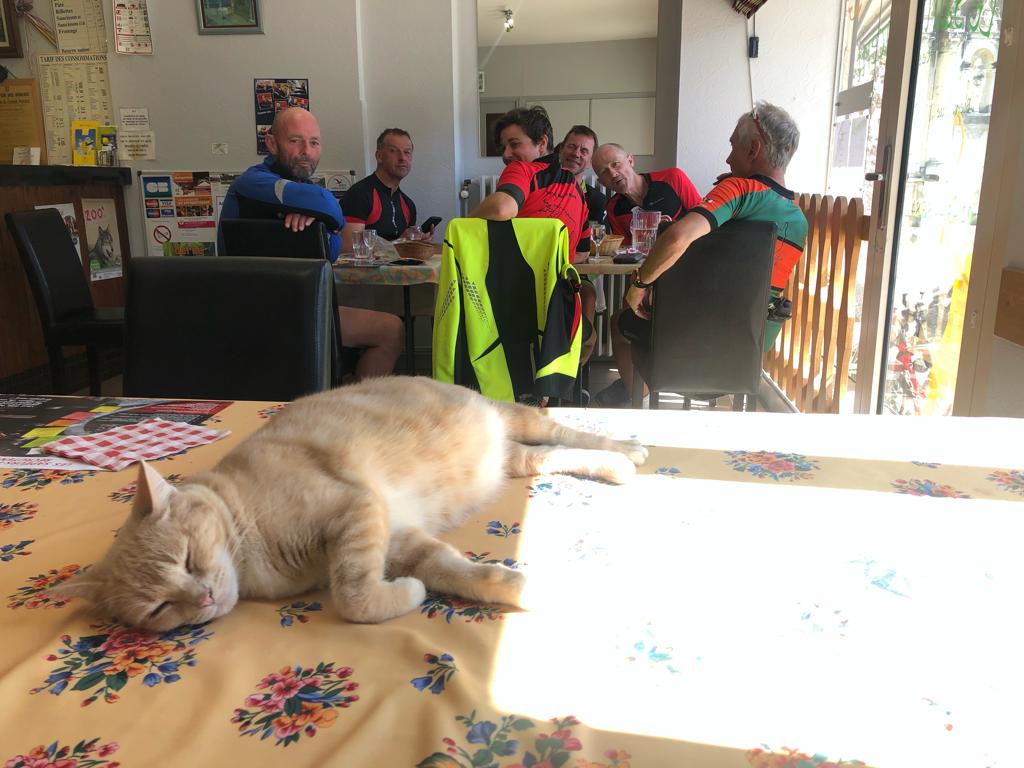
On our 2nd trip we were due to have a picnic, but our support driver got badly lost and ended up in Le Mans. We found some lunch in Saint-Vincent-du-Lorouer; it was fine as long as you like cats.
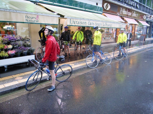
Lost in Tours; reading a Garmin in the rain can be difficult:
Lost in Tours; reading a Garmin in the rain can be difficult: